The Kingdom of Lesotho is situated in the south eastern region of Southern Africa, covering an area of 30,355 km² and is entirely surrounded by South Africa. Lesotho’s geographical formation is characterised by high mountains and deep valleys, and it is the only country in the world to have all its entire territory located at more than 1,000 metres above sea level. More than 75% of Lesotho is mountainous, with only 25 % considered lowland. The lowest point is 1,388 metres rising to almost 3,500 metres in the Maloti mountain range which forms the border with South Africa to the north east and south west.
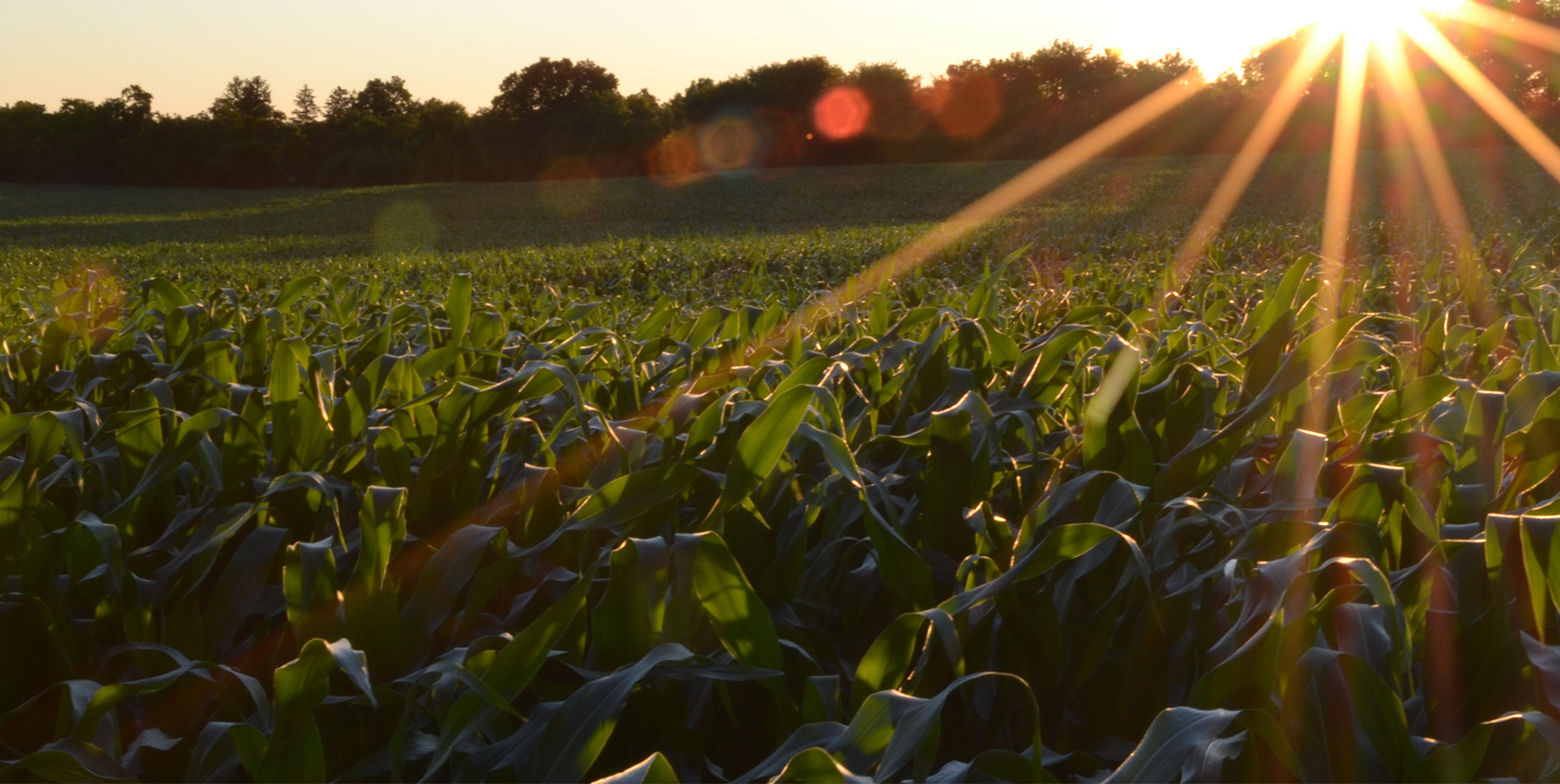
Agriculture in Lesotho is mainly subsistence-based and is predominantly rain-fed and therefore extremely vulnerable to drought conditions. 80% of the population lives in the rural areas where most agricultural activity occurs. More than 50% of the population derive their livelihood from crops and livestock production and about 60% of the labour force is employed in the sector. Agriculture accounts for 16% of exports and meets 50% of the country's basic food needs. Altogether, arable land represents only about 9% of Lesotho's total area. The share of the agricultural sectors contribution to the national GDP has been declining in recent years.
The current area of land under irrigation is estimated at 100 ha. The long-term irrigation potential is estimated at 12,500ha.


